18 June 2018
Part 1. The geography of the bagne
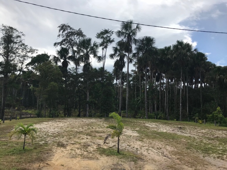
With a view of understanding the extensive geography of the bagne, on Monday we headed to Awala-Yalimapo, a small commune located on the border with Suriname, at the point where the Maroni meets the Atlantic Ocean. En route from Saint Laurent du Maroni, we took the D9 and then the D22. The D9 took us past a number of locations including Charvein which were once camps that formed part of the bagne. Most of these sites have long been reclaimed by secondary rainforest. Les Hattes was one of the earliest camps forming part of the satellite system emanating from SLM.

Today the site once known as Les Hattes forms part of the Anama nature reserve. A sign informs visitors of the location’s history as an A.P. site and that as a result the local population avoided the area during the 100 years that the bagne was in operation and lived further away.
Facing the ocean, the site seems little more than a picnic area flanked by palm trees. A school group were playing beach volley ball with their teachers. It is only when you turn away from the beach that you notice the former A.P. building with its distinctive cross-pattern brickwork. Covered in graffiti but nevertheless intact, the building is a remnant of one of the more longterm penal settlements and the area has now been repopulated by the Amerindian population once displaced by the bagne.

Further down the beach we found the stumps of the former jetty and some piles of bricks scattered around. These were mostly broken and the inscriptions marking them out as AP bricks had been worn away by the waves. SF


