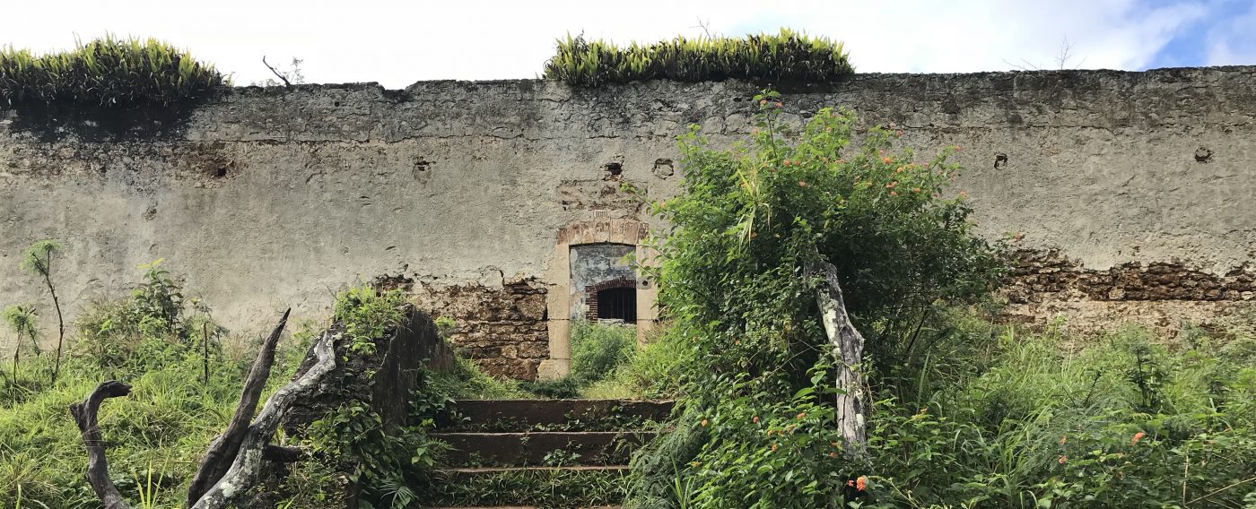
Bagne des Annamites, Montsinéry-Tonnegrande
9 June 2018
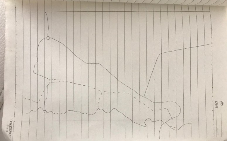
Up until now the plans I have drawn have tended to focus on the organisation of a museum space as viewed from within the space itself. This is a line drawing I did based on a tourist map of the Bagne des Annamites at Montsinéry-Tonnegrande. It isn’t annotated as I drew it before visiting the site and decided to leave it as it was. In French Guiana the secondary forest is prolific and routes and trails can quickly become overgrown or inaccessible due to heavy rainfall. It had been raining heavily the day before we went to the site so I didn’t know what to expect although existing blog posts and comments suggested the site was easily accessible and well-signed. Nevertheless I copied the paths in case we did get lost and couldn’t rely on GPS coverage. This turned out to be completely unnecessary. The paths around the site were well marked and there were mini maps indicating the specific location on the various signage around the ruins. Still, the important skill of using manual maps and moreover other methods of finding one’s way should not be underestimated especially in French Guiana. SF
