Île Royale is one of the more well known sites of the bagne, featuring centrally in Henri Charriere’s semi fictionalised account of his experiences in Papillon (made more famous through the 1973 film starring Steve McQueen and Dustin Hoffman). It is straightforward to find numerous cartographic depictions of Île Royale online – although finding one that can serve as a useful guide to encountering the island as a visitor is not quite so straightforward, as many of the images available are low resolution and don’t allow you to read the labels of the different parts of the island’s contemporary infrastructure and its ruins or ‘vestiges’.
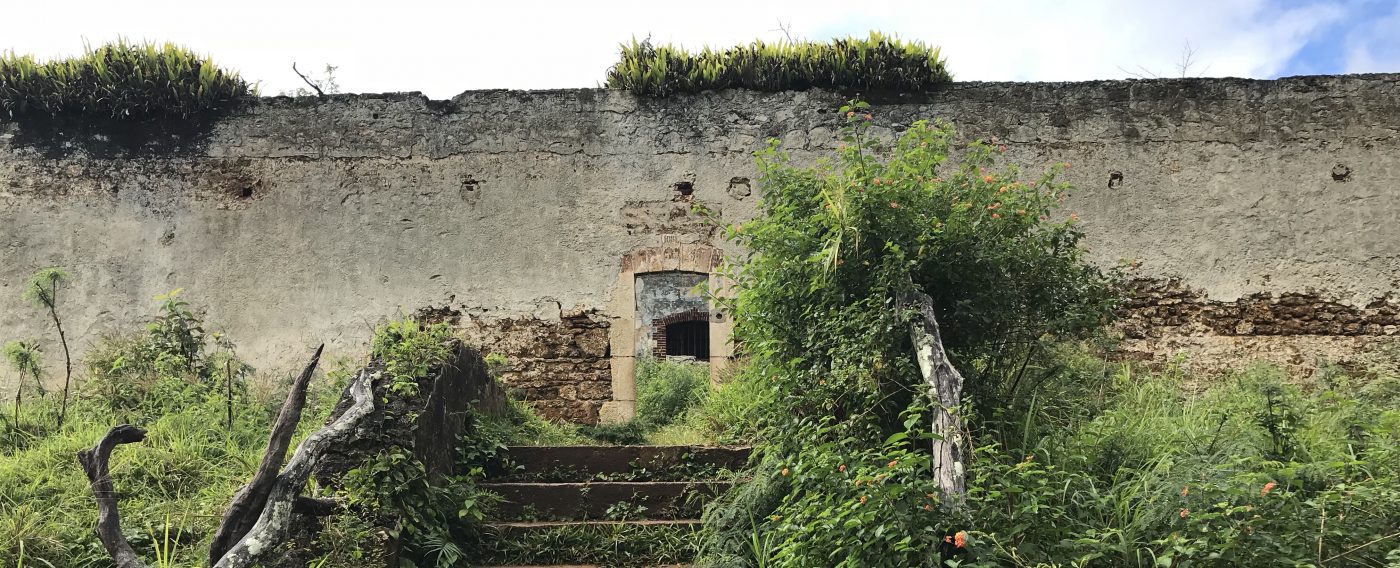
The presentation of the island’s features is very loosely handled for the visitor – highlights or features of interest are not really indicated with signage, and maps are not available in the form of signs upon arrival or as you walk around the island.
Depictions of the island that I am keen to work with include the poster map of the island, available in the shop (which is opened on request) at the auberge in the middle of the island, and the iphone image created by the app Map My Walk as I walked around the island on my first visit. The second visit will take me to the parts of the island as-yet unvisited (by me).


Top left: poster map sold by the island shop
Middle left: map produced by CNES (Centre National d’Ėtudes Spatiales)
Bottom left: 1908 map
Right: GPS map produced by Map My Walk app
CR

I appreciate your detailed account of navigating le Royale and finding useful maps.
LikeLike